“I found that part of it towards San Salvador extending from north to south five leagues, and the other side which we coasted along, ran from east to west more than ten leagues.”

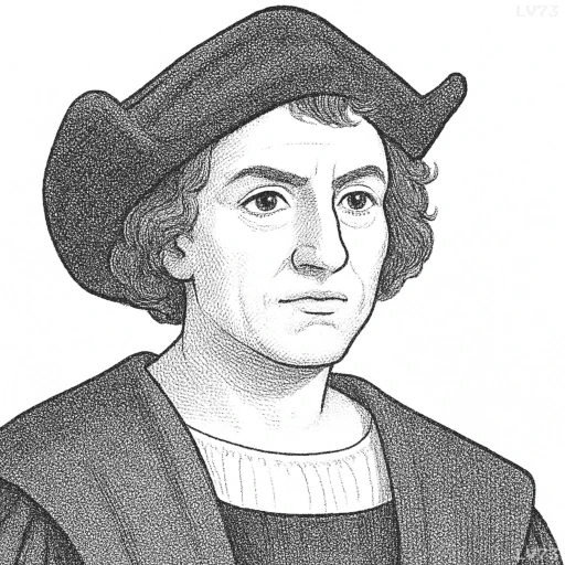
- August 25th to October 31st, 1451 – May 20th, 1506
- Born in the Republic of Genoa (now Italy)
- Explorer and navigator
table of contents
Quote
“I found that part of it towards San Salvador extending from north to south five leagues, and the other side which we coasted along, ran from east to west more than ten leagues.”
Explanation
This quote comes from Columbus’s early observations of the land he encountered during his first voyage to the New World. By describing the geographical layout of the island he encountered (likely one of the Bahamas, which he named San Salvador), Columbus provides one of the first European accounts of the land’s size and orientation. His use of leagues as a unit of measurement reflects the navigational and cartographic conventions of the time. The dimensions of the island, as he described it, indicate that Columbus was beginning to map the geography of the Americas, even though he still believed he had reached the outskirts of Asia. His use of “north to south” and “east to west” provides an early sense of the land’s topography, a crucial component of exploration during the Age of Discovery.
The fact that Columbus mentions both directions, north-south and east-west, highlights the importance of mapping and navigation in his expedition. As an explorer, Columbus needed to carefully record the land’s features in order to provide valuable information for future expeditions and to substantiate his claim to the territories he encountered. This quote underscores the exploratory mindset—emphasizing measurement and documentation as a way to assert ownership and control over newly discovered lands.
In modern terms, the quote also reflects the early practice of geographical mapping, a cornerstone of exploration and scientific inquiry. Today, cartography is a highly sophisticated field, but the fundamental drive to understand, measure, and record the physical world remains the same. Columbus’s account provides an early example of how explorers used maps and measurements to expand their understanding of the world, and it serves as a reminder of how exploration and the measurement of land often went hand in hand with colonial ambition.
Would you like to share your impressions or related stories about this quote in the comments section?

