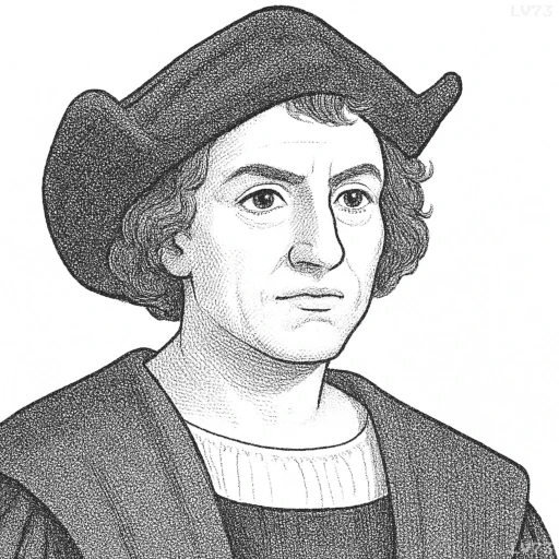
“I propose to construct a new chart for navigating, on which I shall delineate all the sea and lands of the Ocean in their proper positions under their bearings; and further, I propose to prepare a book, and to put down all as it were in a picture, by latitude from the equator, and western longitude.”

- August 25th to October 31st, 1451 – May 20th, 1506
- Born in the Republic of Genoa (now Italy)
- Explorer and navigator
table of contents
Quote
“I propose to construct a new chart for navigating, on which I shall delineate all the sea and lands of the Ocean in their proper positions under their bearings; and further, I propose to prepare a book, and to put down all as it were in a picture, by latitude from the equator, and western longitude.”
Explanation
In this quote, Christopher Columbus outlines his ambitious plan to create a new navigational chart that would depict the seas and lands of the ocean in a way that was more accurate and systematic than existing maps of the time. By emphasizing the idea of delineating “all the sea and lands” in their proper positions, Columbus is speaking to the need for a more scientific and precise method of navigation—one that incorporates the use of latitude (measured from the equator) and longitude (measured westward), which were key elements in developing a more accurate global map. The concept of longitude, in particular, was not fully understood at this time, and Columbus’s effort to use it in conjunction with latitude demonstrates his forward-thinking approach to geography and navigation.
His proposal to “prepare a book” in which he would record his observations “as it were in a picture” shows his desire to compile a comprehensive guide for future explorers. The use of the word “picture” suggests that Columbus envisioned the chart as not just a set of technical data, but as a visual tool that could be used to convey his discoveries in an accessible way. This kind of documentation was significant because it could help standardize the process of global exploration and make future voyages more efficient and less reliant on guesswork or limited maps. It also reflects Columbus’s belief in the importance of knowledge sharing, ensuring that his discoveries would be available for others to build upon, particularly for navigators and explorers who came after him.
In modern terms, this quote reveals Columbus’s role as one of the early pioneers in the field of cartography and global navigation. Today, we might view this effort as part of the larger scientific revolution that was unfolding during the Renaissance, a time when new methods of exploration, measurement, and mapping began to transform our understanding of the world. Columbus’s charting ambitions also highlight the interconnectedness of exploration and innovation—as his voyages would lay the groundwork for later advancements in navigation technology, such as the development of more accurate chronometers for determining longitude. However, from a critical perspective, this quote also invites reflection on the impact of European mapping practices on indigenous peoples, whose lands were often reduced to coordinates or territorial claims that were irrelevant to their own ways of living and understanding the world.
Would you like to share your impressions or related stories about this quote in the comments section?
